Maps Collection
The map collection is not digitized at this time. Please contact us if you’re interested in learning more about this collection.
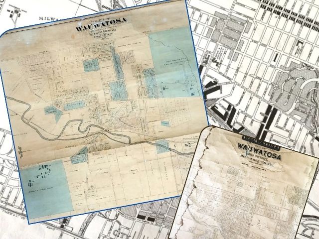
Explore the rich history of Wauwatosa through our extensive map collection. Our archives feature a variety of historical maps, including the 1876 Historical Atlas (plat map book) of Milwaukee County, a treasure trove of insights into the region’s past along with the 1876 Map of Wauwatosa Township.
Our collection also includes a diverse range of maps spanning both pre-1900 and post-1900 eras, covering Wauwatosa and Milwaukee County, Whether you’re researching local history, genealogy, or simply curious about historical cartography, our maps offer a detailed look at the changing landscapes of these areas.
Maps are not digitized at this time. Please contact us to schedule time to explore the Judith A Simonsen Research Library or for more information on this collection.